Accurate, up-to-date and appropriate delivery of information is significant for optimum fishing in terms of resources used and compliance with regulations.
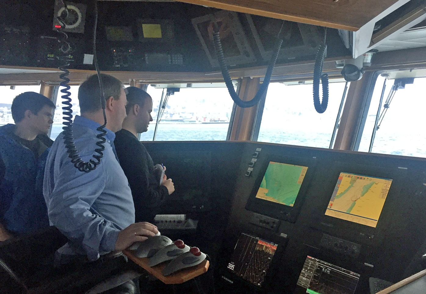
The chart plotter has become the source of much necessary data for the fisherman, not least related to geographical positioning or delimitation.
FishInfo: Access the service here
Collaboration
BarentsWatch has collaborated on the FishInfo (or Charts for Chart Plotters) project with public agencies which provide the data. It currently makes the following information available for automatic and manual download to plotters:
- From the Norwegian Petroleum Directorate (NPD): oil-related information, such as subsea installations and planned/current seismic surveying.
- From the Norwegian Meteorological Institute: marginal ice zone.
- From the Norwegian Coastal Administration: fixed fishing gear.
To some extent, this material has already been available for chart plotters. But BarentsWatch has created a common portal for download of and e-mail subscription to the data.
The functionality is also available via an application programming interface (API), allowing suppliers of chart plotters and other system providers to upload the information directly into their products if desired.
Plans for further development of FishInfo involve expanding the various information areas. Where meteorology is concerned, for example, it will become possible to subscribe to data on wind, waves and currents.
Information exchange aimed at fishing activities could include fishery reports, data on open and closed fishing grounds, and reporting the position of gear.
This new solution from BarentsWatch replaces the present approach, which involves acquiring input – often manually – from a number of different data provide.
The system also integrates key information sources with, and tailors them to, the most widely used chart-plotter systems. It offers such data through BarentsWatch.no as a common portal.
In the initial version, fishing-gear positions, the marginal ice zone, seabed installations and planned/current seismic surveys will be provided as chart layers for use on plotters.
The list of such layers available for download will be expanded on the basis of feedback from users.
Not just for fishermen
Under its mandate, BarentsWatch is also required to ensure that the service benefits other types of vessels and operations on and by the sea.
So relevant users from the maritime and petroleum sectors will be incorporated over time, making it necessary to try out various protocols for distributing information.
The aim will be to offer solutions tailored to all end users, regardless of vessel type or size and of access to local infrastructure. In other words, the service can be extended in line with requirements.
FishInfo offers the oil and fishing industries a common information base, where users can gain an overview over such activities as seismic shooting.
That in turn will make it possible for both sides to identify possible conflicts of interest when planning and pursuing operations.
The system can be expanded as required with services of genuine interest, such as details of wind and weather as well as regulations related to specific areas.
Other information could be updated details on adjusted quotas, open and closed fishing grounds, and where fishing is under way, as well as reporting and identifying the position of gear.
The wish list from users and user tests includes:
- official notifications
- wind maps
- wave maps
- surface currents
- ice forecasts
- sea temperature and salinity
- air pressure forecasts
- Polar lows
- reported positions for fishing gear
- mobile applications
Background
The FishInfo project was launched after the Norwegian Seafood Research Fund (FHF) put a proposal to BarentsWatch on behalf of the fishing sector.
SINTEF, the Trondheim-based research foundation, contributed project management from the preliminary stage and delivered the RedRap project to the Norwegian Coast Guard.
BarentsWatch has been leading further development of the technical system since January 2015, and Sintef will contribute with a research track for testing possible new data layers.
SINTEF has also been responsible for developing a demo app to illustrate opportunities for integrating with the system interface. Source code for this app is available for all developers interested in linking to it.
Representatives for the fishing fleet have been very active in making contributions through the project management committee. System suppliers Olex, Furuno (MaxSea) and Dualog (eFangst) have also provided important input for developing the system.
Dualog created the first integration with the machine interface, so that its uses could see and extract the chart layers directly in eFangst.
Better working day
Establishing an integrated solution for distributing information to the fishing fleet – and eventually other users at sea – supports the Norwegian government’s efforts to renew, simplify and improve the working day.
Intended to benefit both public administration and industry, this approach improves efficiency for players both at sea and along the coast.
That in turn will boost long-term sustainability, free up expertise, support more intelligent work processes and reduce bureaucracy.
BarentsWatch promotes collaboration and enhances administrative efficiency at sea and along the coast. The FishInfo service contributes to various aspects, including the following.
Development: BarentsWatch is mandated to promote development through information solutions which provide a better factual basis for decisions and strengthen data availability.
Enhanced value and quality: BarentsWatch will help to enhance the value and quality of knowledge by collating data from its partners.
Conflict reduction: BarentsWatch will help to reduce conflicts by making a wider range of perspectives visible.