Good management of the waters under Norwegian jurisdiction calls for solid know-how about the state of the ecosystems involved and their development, and how they are affected by human activity.
Generally speaking, little is known about the negative impact of ship traffic on the marine environment other than the effects of acute incidents and accidents.
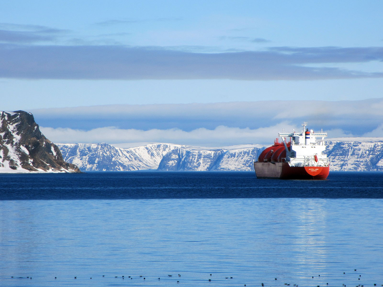
Little threat
The probability of accidents related to maritime traffic or offshore petroleum activities was assessed to be low in a 2010 report prepared in connection with work on the management plans for Norway’s sea areas.
Should a disaster occur, however, the environmental and social consequences are likely to be considerable.
The Norwegian Coastal Administration (NCA) produces forecasts in order to be able to draw some conclusions about the future development of shipping activity off Norway.
According to these predictions, such traffic is set to expand by 41 per cent from 2013 to 2040. The biggest increase will be for gas carriers.
The environmental consequences of more vessel movements are primarily the increased probability of accidents. Nor should emissions/discharges from regular operation be ignored.
A survey conducted by classification society DNV GL in 2015 showed that nine per cent of carbon emissions in Norway derive from shipping.
Read the NCA’s report on forecasts for maritime traffic up to 2040 (in Norwegian only).
Heaviest in North Sea
Shipping is heaviest in the North Sea, at almost twice the level for the Barents Sea. The figures break down between fishing vessels, passenger ships, dry cargo carriers, tankers and others.
Traffic in the Barents Sea is dominated by fishing craft, while dry cargo carriers and passenger vessels represent the bulk of activity in the North and Norwegian Seas.
See the overview of shipping traffic (in Norwegian).
Alternative route
A major source of uncertainty is the development of ice conditions in the North-East Passage across the top of Europe and Asia, which are altering as a result of climate change.
While forecasts in 2008 expected shipping traffic in the Passage to remain more or less unchanged up to 2050, these predictions were being revised as early as 2012.
The ice has proved to be thinning more quickly than expected. It is now so far from land in the summer months that the Passage could provide an alternative route for many ships – although the Suez Canal will remain the principal highway.
Still modest
The volume of traffic through the Passage remains modest. Thirty-three ships made the voyage in 2011, 71 in 2013 and 54 in 2015. In contrast, some 18 000 vessels a year pass through the Suez Canal.
A transit of the Passage takes in the north Norwegian coast, the Barents Sea – ice-free in the summer – and Russia’s Arctic shores.
Following this route would reduce journey time between Europe and the Far East by up to 40 per cent compared with sailing via the Suez Canal.
According to Norway’s Bjerknes Centre for Climate Research, however, a number of factors reduce the value of the Passage as an effective transport route.
These include uncertain ice conditions, costs associated with ship design, big distances between ports, limited access to rescue services and expensive operation.
Russian oil and gas
Another challenge in forecasting the development of shipping activity in the Norwegian and Barents Seas is uncertainty over Norwegian, but not least Russian, oil and gas operations.
Petroleum developments in Russia affect Norway because of the need to transport Russian production westwards through Norwegian waters and southwards to Europe.
A treaty on the boundary between the Norwegian and Russian sectors of the Barents Sea and the Arctic Ocean was agreed by the two countries in 2010.
The establishment of this dividing line opens the way for offshore exploration in new areas and could boost vessel traffic – particularly towards the end of the forecast period.
Probability of spills
On behalf of the NCA, DNV GL has assessed the probability of oil spills from shipping along the coast of mainland Norway, drawing on data from 2008 and forecasts for 2025.
This assessment has primarily considered the risk for acute discharges of crude oil and refined petroleum products from vessels.
It concludes that the probability of an accidental spill of such pollutants lies between once a year and once every other year.
The areas where the risk is greatest are the Oslo Fjord, along the southern part of the west Norwegian coast, and the area around Fedje island north of Bergen.
Far north causes concern
The forecast for 2025 shows that the probability of spills from shipping will increase along the coast of Norway’s three northernmost counties – Nordland, Troms and Finnmark.
This reflects expectations that vessel traffic is likely to expand in the region as a result of growing oil and gas operations there.
As mentioned above, the number of Russian ships in transit through these waters is likely to rise even though the scale of that increase remains uncertain.
Although it is less likely that accidents will occur in the far north, the prospect of such incidents is a source of great concern.
This region is generally more vulnerable to pollution and has a longer restitution time than areas further to the south.
Varying vulnerability
The consequences of an oil spill vary with time and place because they depend on the vulnerability of the natural environment in the location concerned.
This is determined by such factors as the distribution of seabirds, marine mammals and fish in the area, and how sensitive these species are to oil at different times of the year or stages of their life cycles.
Read more (in Norwegian only) in the integrated management plan for the North Sea and Skagerrak(link is outdated)
Boosting safety
Almost half the maritime traffic – excluding fishing vessels – in the Barents Sea and the waters off Lofoten follows recommended sailing routes.
That applies to more than 80 per cent of the largest ships and virtually all tankers, and helps to boost safety and reduce the probability of accidents.
The same distribution is also seen in the sailing routes off Norway between the northern island of Røst and the Oslo Fjord, which were introduced in 2011.
Simulations have demonstrated that a substantial reduction is achieved in the number of groundings by moving vessels further from the coast.
Reducing spills
Recommended sailing routes are one of several measures for reducing the risk of spills and compensating for the expectation that such incidents will increase as a result of growing traffic.
Other measures include towing preparedness, vessel traffic monitoring and traffic separation systems. These have their greatest effect when used in combination to cut discharges.
Read more about these measures on the NCA’s website.
To strengthen maritime safety in the Barents Sea, the NCA established its Barents SRS ship reporting system in collaboration with the Russian authorities in June 2013.
The aim is to obtain an improved overview of ships and cargo types in the region so that the government can be alerted more quickly about traffic which needs special attention.
At the same time, the system ensures that vessels get access to relevant information they need in order to be able to navigate safely in the area.
Management of Norwegian waters
The development of management plans for Norway’s main sea areas began in 2006, and this work has boosted knowledge about how a good environmental condition can be maintained.
Two advisory groups have been following up these plans since 2014 – the technical forum for Norwegian sea areas, headed by the Norwegian Environment Agency (NEA), and the monitoring group led by the Norwegian Institute of Marine Research.
Read about work on the management plan for the Barents Sea-Lofoten area
Read about work on the management plan for the Norwegian Sea
Read about work on the management plan for the North Sea and Skagerrak