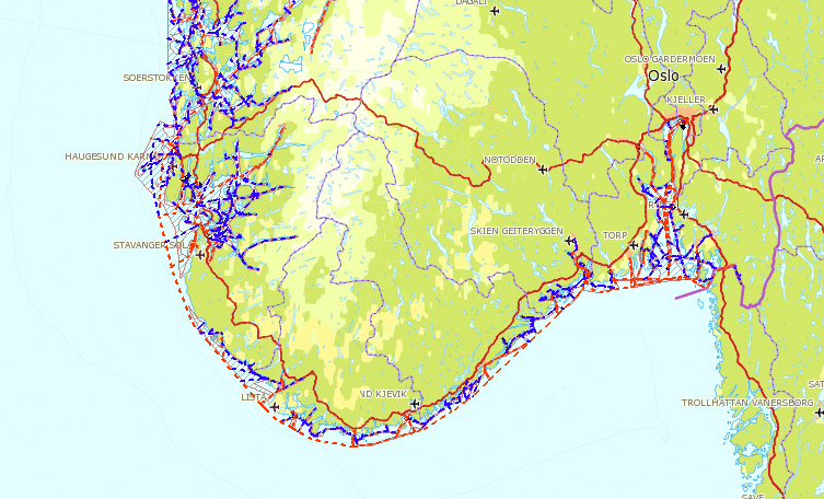
The fairway structure (show on map) includes the network of seaborne transport routes, and is a national geographic reference system for measures within the management, planning, development and operational activities in the coastal zone.
The measures cover the whole spectrum, from physical deepening to marking and traffic regulations, etc., to improve accessibility for shipping and safeguard the marine environment.
Information and knowledge are necessary to describe, identify, evaluate and choose between different measures in the fairways. Specifications for all the fairways are combined in a fairway database that undergoes continuous supplementing and updating, and where more and more property data for the various fairways is entered. In turn, this database will constitute the core of an overall national coastal information system (KYSTINFO), which is administered by the Norwegian Coastal Administration (NCA).
The main motives behind the establishment of fairway structure were:
- To be able to define a fairway or utility area in the coastal zone in a standardized and concise manner.
- To always be able to have an up to date overview of the distribution of state and municipal responsibility, including an updated overview of the fairways NCA is responsible for.
- To establish a unified definition of fairway categories, i.e. importance, and thereby be able to plan and prioritize funds as well as possible.
- To be able to define the state pilots' certificates in a concise and easily understood manner.
Geographic reference system
In addition, the fairway structure must function as a geographic reference system for internal measures in the NCA in terms of marking, deepening and traffic control. The fairways represents arterial routes for shipping, and thus represent an infrastructure with a certain priority.
Showing the road system at sea
In work on the National Transport Plan, a coherent unified national trunk network of transportation is defined, i.e. boat, car, train and airplane. For the NCA this applies to the main fairways along the coast, "mandatory" lanes, and the approach to the main ports.
The trunk network is further subdivided in maritime transport corridors with spatial extent and numbering in accordance with the defined national transport corridors. This new definition of trunk network and corridors for sea transport entails that classification and coding of the fairway structure must be adapted to this. This will be done in conjunction with revision of the fairway standards.
Provides an overview and basis for analysis
The NCA and the other transport agencies will more easily be able to conduct traffic analyses for freight and passenger traffic across transport modes. This is important to consider effective intermodal solutions in the effort to improve the competitiveness of maritime transport in relation to land transport, and to achieve the overarching political objective of transferring more traffic from road to sea and rail. The NCA will continue to document the need for measures in the trunk network in a better way. "
Raises the visibility
Increased utilization of the coastal zone has made it necessary for the NCA to assert sector authority in an efficient manner towards private developers, municipalities, counties, etc. In this context there is a need to use the fairway structure as a visualization of the NCA's geographic areas of interest.