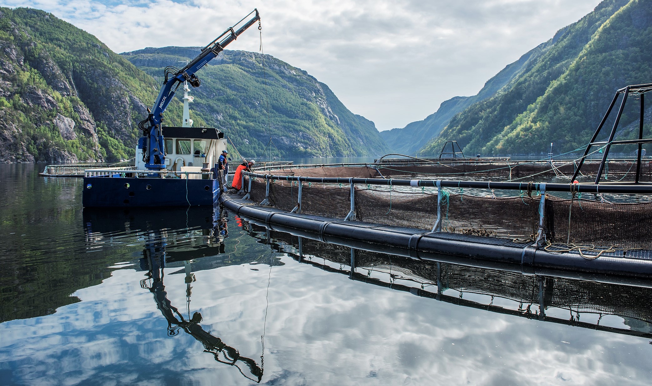
BarentsWatch https://www.barentswatch.no/en/fishhealth/ has a major upgrade including ship tracks of all ships visiting fish farm sites and much other.
We have made a technical upgrade of the service resulting in a different outlook. Some menus are moved due to this. I hope you will not be too much inconvenienced. A hint is to look for the map layers in, well, “Map layers” in the menu at top left side.
There is a lot of news, please see a better description below. Here are the most important changes. If you are a developer, please see text at bottom:
- See all ship tracks back to week 35/2020 at map layer with different colors for wellboats / others, filters for wellboats, fishing boats and others
- Real time positions as separate map layer
- Locality visit list for all ships
- Favourite storage
- Filter usage gives list of sites and automatic zoom in map
- Primary and secondary fairways map layer
- Improved base layer map now covers all world
- Nights mode
- Browser remembers your preferences, and its possible to store prefences
- Cleaner fish data are removed from the 19th of April 2018
I hope you will use the Feeback button in the lower right hand side of map: We want to improve, please help us!
If you are a developer and / or want to stay up to date on new datasets and APIs, you should sign up for our notification of changes in the API (https://www.barentswatch.no/minside/ - "For developers"), and check our blog https://developer.barentswatch.no/blog/ to see updates.