It provides information beyond what charts can provide. The Norwegian Pilot Guide is a reference work and an important aid both before, during and after sailing.
Important source of information
The Norwegian Pilot Guide consists of eight volumes. The first volume in the series provides general information of importance to mariners, and is used as a supplement to the other volumes. The seven other volumes each describe a section of the coast.
How should the voyage be done in practice? Which dangers and conditions should one be aware of? Where is the nearest port of refuge? These are the questions the Norwegian Pilot Guide answers.
The books include maps, drafts, sailing directions for shipping lanes, details of waters, harbours, ports of call, anchorages, distance tables, etc. Important information on weather, wind and tidal currents is also available.
For vessels subject to mandatory registration, it is statutory that the publication is on board.
However, smaller vessels may also benefit greatly from the books, as they are designed to cover the recreational fleet's specific needs for information.
An English edition of volume seven, covering Svalbard and Jan Mayen, was published in 2012. There are currently no plans to translate the other volumes.
Nautical charts
The official nautical charts from the Norwegian Mapping Authority are updated more frequently than the waters descriptions. This means that if there is a discrepancy between the nautical chart and the Norwegian Pilot Guide, it is the nautical map that applies.
Important corrections to the books are published on the Norwegian Mapping Authority's website.
Produced by the Norwegian Mapping Authority
The Norwegian Pilot Guide is a nautical publication produced and maintained by the Norwegian Mapping Authority's Hydrographic Service, and consists of eight volumes:
- Volume 1: General information
- Volume 2A: Swedish border – Langesund
- Volume 2B: Langesund - Jæren's reef
- Volume 3: Jæren's reef – Stad
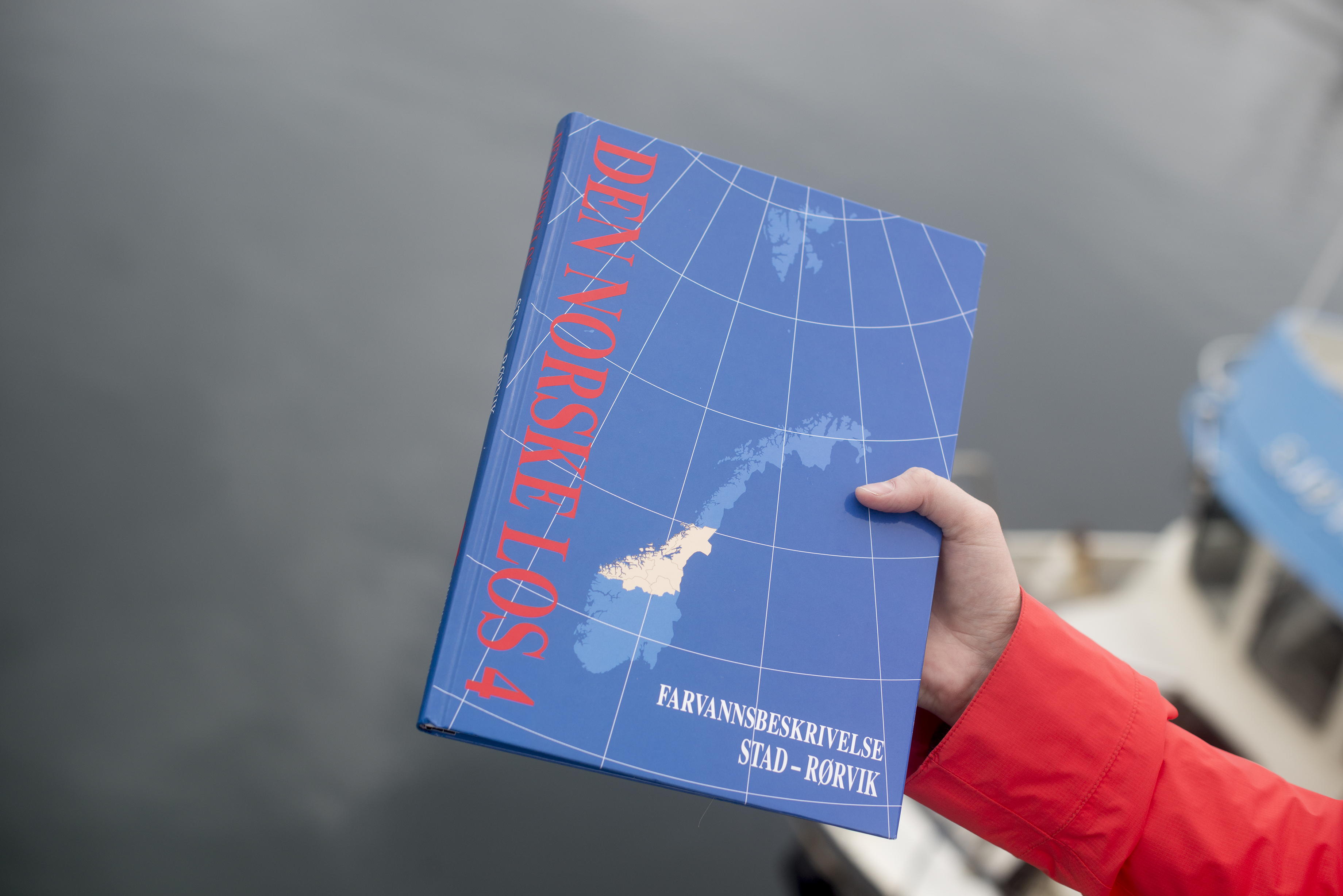
- Volume 4: Stad – Rørvik
- Volume 5: Rørvik – Lødingen and Andenes
- Volume 6: Lødingen and Andenes – Grense Jakobselv
- Volume 7: Svalbard and Jan Mayen
The Norwegian Mapping Authority cooperates with the Coast Guard and the NCA. They continuously report amendments and corrections to the book. Reports received from the Coast Guard, the NCA, government agencies and the public help to keep the books up to date.
Descriptions of waters are revised regularly. Before a new edition, the relevant coastal stretch is inspected and may be surveyed by the Norwegian Mapping Authority.
Reports of corrections to the Norwegian Pilot Guide may be sent by email to dennorskelos@statkart.no.