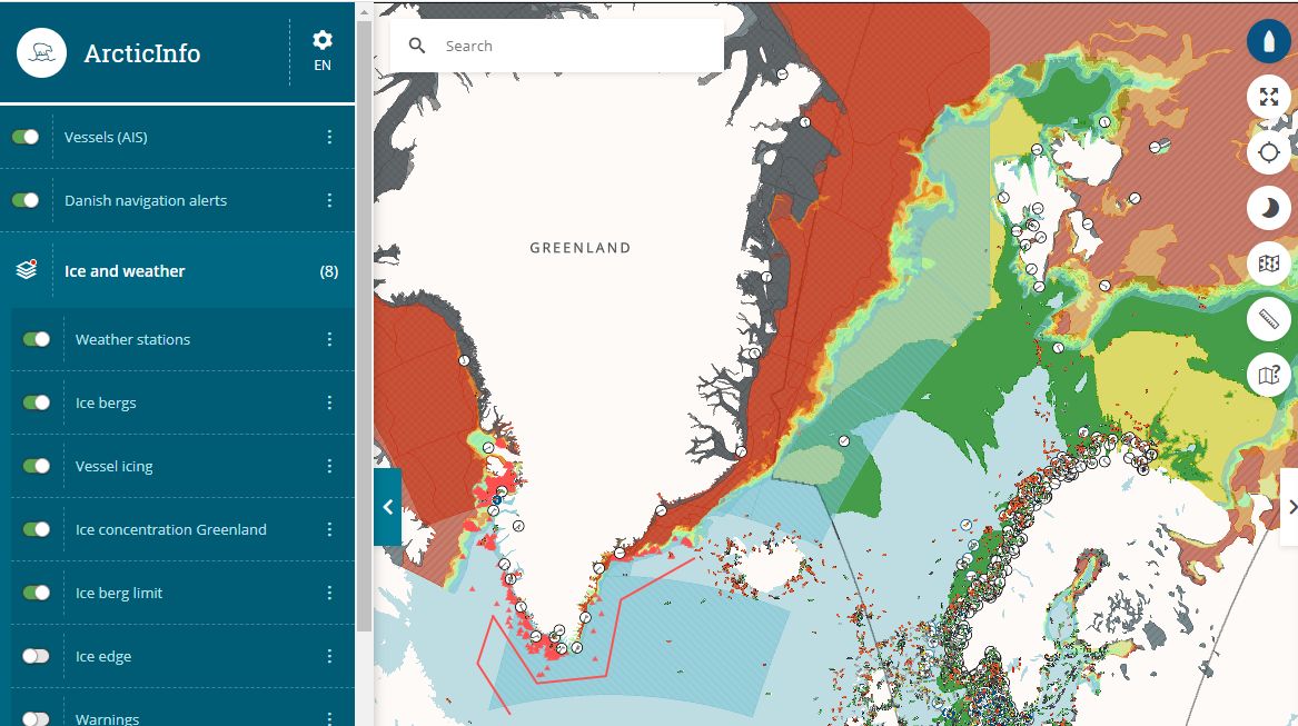
ArcticInfo is a website that provides information about the conditions in Arctic waters, and decision support to ensure safer voyages. By increasing maritime safety in the High North, we reduce the risk of unwanted incidents and accidents.
The service is continuously developed. Recently, new information has been included in the service:
- Icebergs around Greenland
- Icing
- Ice concentration from the Meteorological Institute in Denmark and Norway (drift ice and solid ice)
- Weather forecasts for Norway, Canada, Iceland and Russia
- Weather stations and ship information (in AIS format) from the Norwegian Coastal Administration
From 2020, the service also includes information on:
- Ice edge
- Weather data on wind direction and strength, currents and temperature
- Depth curves with an overview of seabed topography
- Information on quay conditions
- An overview of Norwegian maritime borders
- An option to send voyage plans digitally to authorities in Greenland
“ArcticInfo is a continuation and modernization of ArcticWeb, which was developed in Denmark. Through BarentsWatch, the Norwegian Coastal Administration has collaborated with the Danish Maritime Authority and can now offer a number of information services that are important for safety, accessibility and the environment in the Arctic.”
Head of department Jon Leon Ervik at the Norwegian Coastal Administration points out that the service covers a large area, which includes waters around Norway, Iceland, Denmark, the Faroe Islands and Greenland.
“I am excited about the result so far. ArcticInfo contains information that I am sure mariners need for safe voyage in these areas. When the opportunity arises, we look forward to showing this to more and more mariners, and at the same time involve more users to exchange ideas for new functionalities in the service”.
The Norwegian Coastal Administration welcomes feedback, both critique, praise, questions and ideas. Please feel free to use the function "Give feedback" on the website.
The service is map-based, free and accessible to everyone. As a user, you must register to have access to edit data about your own vessel, such as maximum speed, ice class, gross tonnage, rescue capacity, communication options, and whether the vessel has a helicopter deck and a doctor or nurse onboard.
We collect ship-specific information from the NIS / NOR ship registers.
You can access the ArcticInfo service here: https://www.barentswatch.no/arcticinfo/
Watch our video to get an introduction to ArcticInfo (in Norwegian): https://fb.watch/3IQcukcbT0/