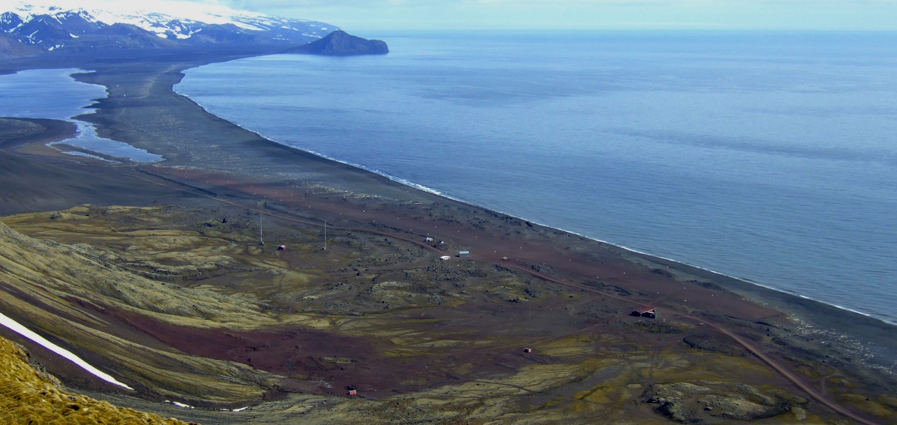
These surveys are to be conducted around the island of Jan Mayen in the Arctic Ocean, off the Helgeland coast of northern Norway and in the south-eastern Barents Sea.
The NPD is responsible for all this data acquisition on behalf of the Ministry of Petroleum and Energy, and charters survey ships to do the work.
Amounting this year to more than NOK 260 million, funds for the programme have been appropriated by the Storting (parliament) over the central government budget.
Read more about this year’s seismic surveys in the press release from the Ministry of Petroleum and Energy on this year’s budget.
New area
The NPD shot 11 500 kilometres of two-dimensional (2D) seismic lines in the new area of the Norwegian continental shelf (NCS) in the south-eastern Barents Sea during 2011.
A further 3 061 kilometres were also shot around Jan Mayen and 230 kilometres on the Møre Rand High in the western part of the Norwegian Sea.
The surveys in the south-eastern Barents Sea and around Jan Mayen were the first systematic seismic data acquisition programmes in these waters.
Shooting on the Møre Rand High was a preliminary to drilling shallow wells. These can give the government more information about what lies beneath the layers of volcanic basalt beneath the north-western Norwegian Sea. No date has been set for drilling.
Companies
Industry surveys conducted for the oil companies on the NCS during 2011 totalled 65 739 kilometres of 2D lines and 46 883 kilometres of three-dimensional (3D) seismic data.
This activity was highest in the Barents Sea, where 76 per cent of the 2D and 55 per cent of the 3D lines were shot.
The Norwegian Sea accounted for 22 and 21 per cent respectively, while North Sea surveys represented two per cent of 2D and 24 per cent of 3D lines.
All seismic surveys on the NCS must be reported to the NPD no later than five weeks before shooting starts. These reports are submitted electronically to the NPD’s website.
Once registered, they are automatically forwarded to the Directorate of Fisheries, the Norwegian Institute of Marine Research and the Norwegian armed forces (FOH) for consultation.
These bodies are able to provide specialist advice on such issues as fishing, shipping and military activity in the area due to be surveyed.
Since 2009, all information about planned, current and completed seismic surveys on the NCS has been published in the fact pages of the NPD’s website.
Details provided include maps and coordinates of survey areas, names of the survey ships and the fisheries expert they must carry, and all reports and comments from the advisory bodies.
By Astri Sivertsen.