The system, which was initially established as an anti-collision system for vessels, now has a much broader area of application and versatility for various public actors. Previously, the authorities had to contact vessels directly to obtain detailed information on the vessel. Today much of this information may be obtained from a web-based AIS service (AIS Online).
The information available in AIS Online is the AIS messages recorded by the national AIS network. The AIS network consists of 44 land-based base stations on mainland Norway and Svalbard that receive automatic and dynamic messages from vessels showing the vessel's position, course, speed, and identity. The web-based AIS service also displays static information about the ship's identity, type of vessel, dimensions, destination, estimated time of arrival and cargo.
The AIS network covers, with certain exceptions, the area from the baseline and 40-60 nautical miles from the coast.
Versatility and usefulness
The Joint Rescue Coordination Centre (HRS) is one of the most active users of the web-based AIS service. HRS uses AIS to find the position of vessels in distress and nearby vessels that can assist in seagoing search and rescue operations. Access to dynamic information on shipping traffic via AIS makes it possible to coordinate seagoing resources in a transparent and efficient manner.
For the NCA's traffic control centre service, which is responsible for monitoring, regulating and assisting maritime traffic in particularly exposed areas, the AIS in combination with radar provides a complete picture of the traffic situation.
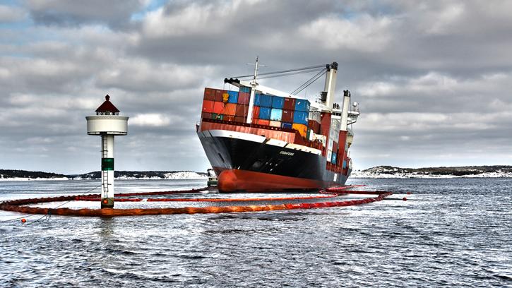
The NCA also uses the system for other purposes. For the pilotage service the AIS is an important tool for planning and executing pilotage assignments. In preparedness against acute pollution AIS is an important source of information to gain a quick overview of the situation when groundings or collisions occur, such that action can be taken to limit the scope and coordinate resources at the location.
Historical data
AIS data that is recorded by the land-based network is stored for several years. Historical data can therefore be used to survey traffic volumes and sailing patterns in the context of transportation planning and development of the maritime infrastructure. AIS can also be used to verify the legitimacy of the vessels and their use of the coast, such as the control of compulsory pilotage, compliance with pilot exemption rules, and whether vessels comply with the national notification regime.
See www.kystverket.no/AIS for more information.