"Th geology forms the entire basis for our having oil and gas on the Norwegian Continental Shelf", notes Espen Simonstad, geologist at the Norwegian Petroleum Directorate.
Three main geological conditions
Oil and gas are formed by plankton organisms that sank to the bottom of the sea several million years ago. Plankton from the Jurassic period 200-146 million years ago is the basis for large parts of our petroleum deposits. In time, the plankton remains were converted into oil or gas under high pressure and high temperature in a so-called source rock. Source rock is often dark or black slate with high organic content. Oil is formed when the source rock is exposed to temperatures between 60 and 130 degrees, while gas is formed at 130 to 180 degrees. These processes start when the source rock has reached a depth of about 2,000 metres.
In order for it to be possible to find the oil and gas, it must be collected in sedimentary reservoir rock. This occurs when the source rock is covered by eroded material such as sand, silt and mud. When this is pressed together, a sedimentary rock is formed that can become a reservoir for the oil and gas that flows up from the source rock. It is a prerequisite that the sedimentary rock is porous and permeable; in other words, that it has an airy and "spongy" structure.
After the oil and gas has been formed in the source rock and then flowed into and been absorbed by the reservoir rock, it must be kept in place by an impermeable caprock. If it is not, the oil and gas will flow onwards out of the reservoir and disappear. Oil and gas can be captured under caprock under various conditions, such as in folds in the rocks and in fault blocks.
Oil and gas at sea, not on land
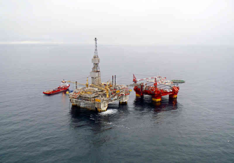
The three main geological conditions are found on the Norwegian Continental Shelf. This is why there are so many viable oil and gas fields there. The geology is different onshore. Mainland Norway mainly consist of igneous and metamorphic (transformed) rocks. These types of rock do not contain oil or gas. There are some smaller areas of sedimentary rock in mainland Norway too, but they are not suitable for oil and gas formation.
However, the erosion of Norwegian mountains is the basis for the sedimentary reservoir rocks on the Continental Shelf.

Espen Simonstad, geologist at the Norwegian Petroleum Directorate. Photo: Kjetil S. Grønnestad.
"In several places the glaciers of the ice ages have eroded away the caprock, so that the oil and gas beneath seeped out. Today, we find oil and gas where caprock remains", Simonstad explains.
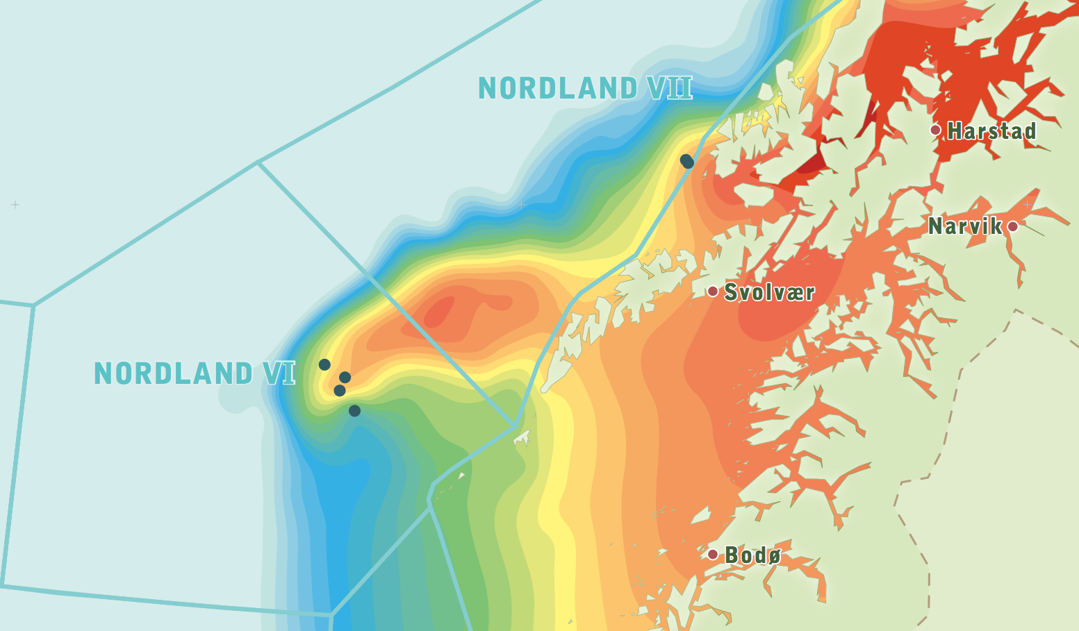
The glaciers scoured deep. In the northern parts of the Barents Sea, glaciers have eroded away up to 3,000 metres of bedrock. In the southern parts of the Barents Sea, glaciers have scoured down about 1,000 metres.
The Norwegian Sea also has good conditions for petroleum, but there has turned out to be less oil and gas here. A challenge, not least in western parts of the Norwegian Sea, is that the subsea geological layers have intrusions of basalt rock. This igneous (volcanic) rock is so hard and impermeable that it is difficult to use seismic surveys to map the types of rock beneath the basalt rock.
Increasing knowledge
The knowledge that geologists have about the geology of the Continental Shelf improves all the time. More and more wells are being drilled into the sedimentary reservoir rock. This provides concrete evidence of what the bedrock consists of. These findings are interpreted along with seismic data.
Tests are done in the wells both during and after drilling. In summary, the four most common logs are:
• Radio activity
Measurement instruments are lowered in to the drill hole and measure the natural gamma radiation (gamma log). This shows whether the sedimentary rock consists of sand, silt or mud (slate). Finding sand is best, as this gives more hope of finding a promising reservoir. The gamma log also shows the porosity and permeability of the rock.
• Resistivity
This shows the electric resistance in the liquid in the reservoir. Water, oil and gas conduct electricity differently. The resistivity can indicate the type of liquid the reservoir contains.
• Permeability log
This measures the permeability of the rock.
• Porosity log
This measures the porosity of the rock. Even when the rock consists of sand, it may still be impermeable.
Modern methods
Better knowledge of the geology of the Continental Shelf after several years of marine surveying are followed by better onshore working methods.
"Though the field is the same, our interpretive opportunities continue to improve. Previously, geologists interpreted data on paper. Now, we do it on computers. This is a big improvement", says Simonstad.