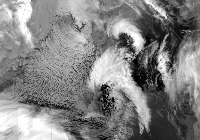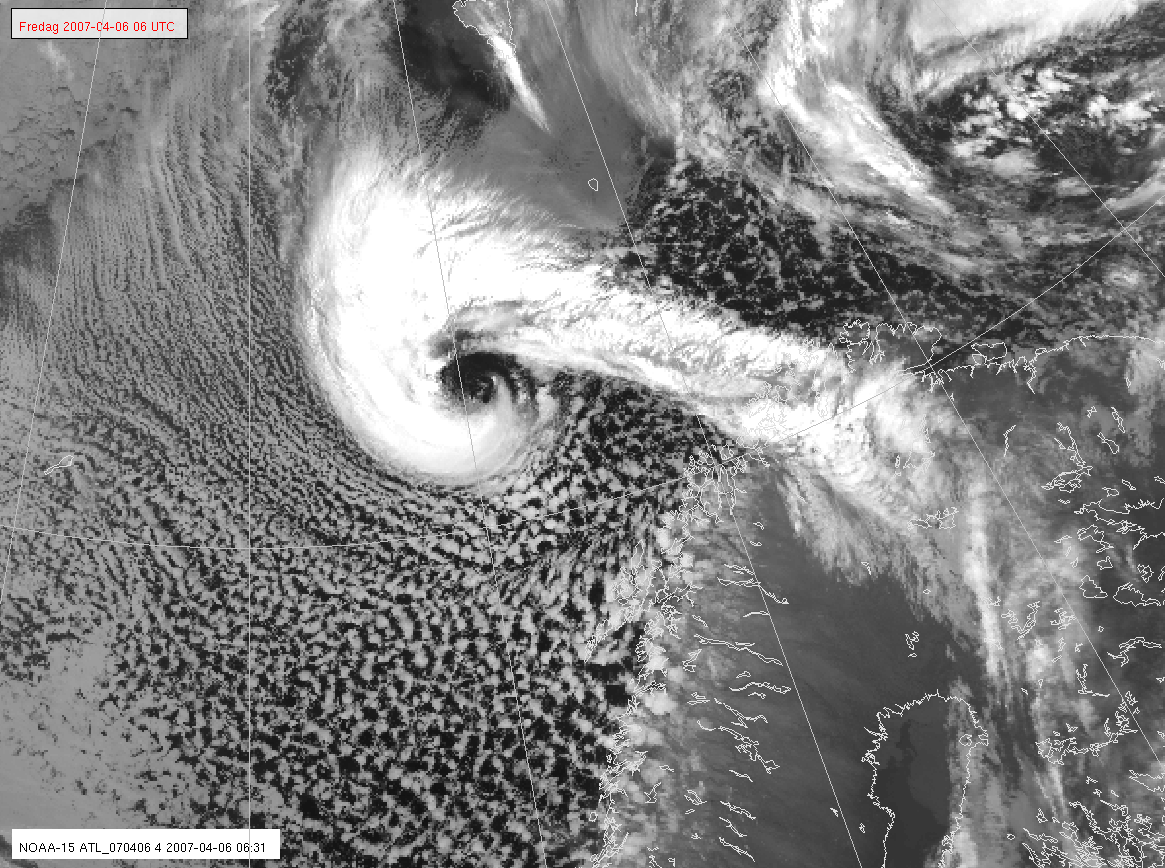
Polar lows are intense and short-lived, but can have fatal consequences and cause serious damage to shipping, oil and gas platforms and aviation. They are often difficult to detect and forecast, since they usually occur in polar seas where observations are far between. Through new methods for satellite observation, polar lows are now detected and forecast 1-2 days in advance.
Weather services offered can be combined with vessel traffic services such as the Automatic Identification System (AIS) of a ship. For example, knowledge of the combined weather, ice and wave conditions can be useful to get an overview of which boats are in areas with bad weather.
New ice-map services with a higher degree of detail and more frequent update will gradually be introduced in the module. This will significantly improve information quality and provide a better basis for decision making for users in the coverage area. A promising ice service is ice-statistics based on high-resolution maps. It provides a graphical view of monthly normal of different ice concentrations.
Climate Services will provide historical data on weather and sea. In addition, it is planned to continuously report cruise data from researchers in the coverage area.